Geo Fences
Step 1
Select Line or Square tool to draw the geofence you can also zoom in to the location to set geofence then name the geofence.
Step 2
In Devices select device then the connections button and select the geofence to assign it to the device.
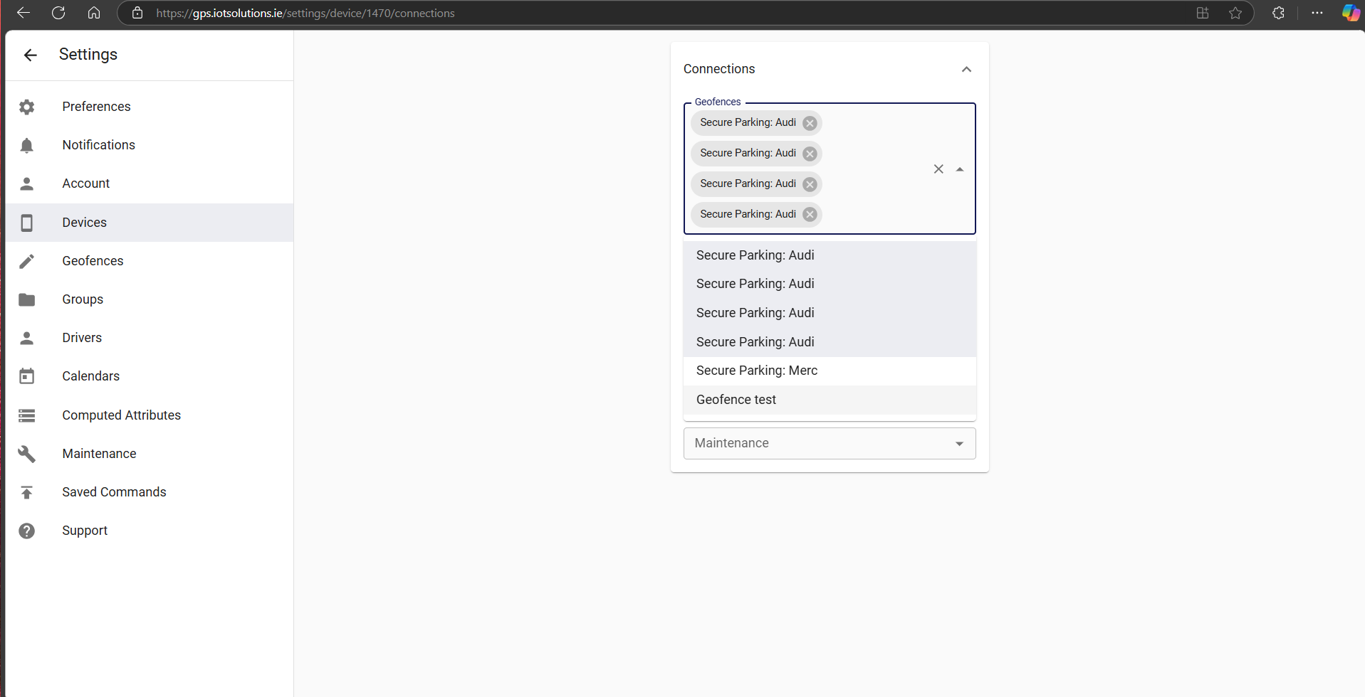
Step 3
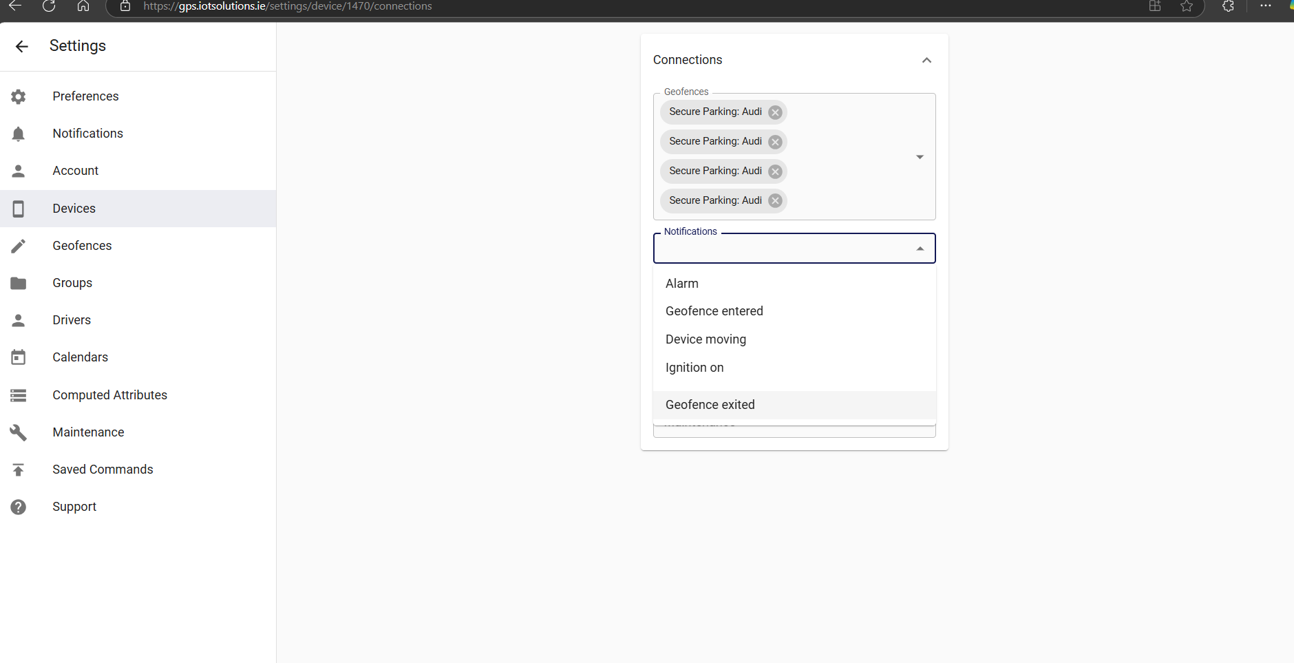
Select the notifications to assign to the device your geofence and notificaations are now set.
What is a Geofence
Geofences are geographical zones used to track device movement. The software can generate events about entering and exiting to these zones.
Permissions
Geofences relationships with other objects is very flexible.
If geofence is linked to a device, it means that the tracking platform will monitor device entering and exiting that geofence.
If geofence is linked to a group, it means that the tracking platform will monitor all devices in that group entering and exiting the geofence.
Calendars
Calendars can be linked to geofences. This will limit events generation to the calendar schedule.
Tips and Tricks
Color of a geofence on the map can be set in the geofence attribute color.
If you need control device movement along a pre-defined route, you can use polyline geofence. Also, if you need control when device started and ended the route, you can add additional geofences at the source and at the destination.
For an easy set up of a geofence around a devices current location with a geofence exit alert this can also be switched on using the app.
https://iotsolutions.ie/docs/set-geofence-alert-for-current-location/
Contact us if you need help setting up notifications.